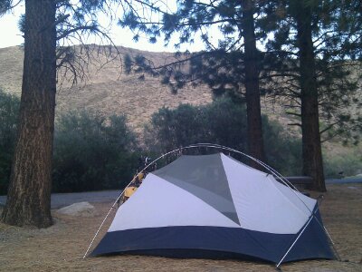
94.0 mi / 8:16:21 time / 11.3 mph avg. / 7421 ft. climbing
Staying at Camp Nelson RV Park
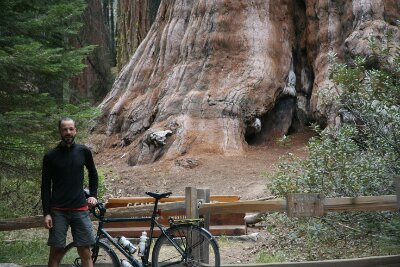
Wow, what a morning! Dennis and I were packed up and on the road a little after 7am. He joined me southward for a few miles to go see General Sherman, the undisputed heavyweight champion of the tree world. For the third morning in a row, I felt pains in my stomach, but once we hit the road and started a climb, I felt like I was attacking it with twice the energy and speed of yesterday, so that was a very good sign.
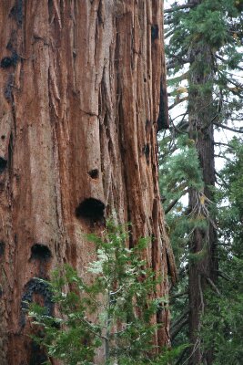
As cyclists, we could pull into the entrance right next to General Sherman rather than parking at a remote lot like all the (non-handicapped) drivers have to. Like yesterday, we were the only ones there, and our timing was even better because we got to see the rising sun lighting the upper tiers of Sherman, giving a perspective you just would never see later on. It still seems odd to me, since most of the campground was awake and moving about at the same time we were, but I guess people just don’t think to go sightseeing right then. At first I was wondering if General Sherman would be just “more of the same” after seeing General Grant, but it’s a very different looking tree, and its positioning lends different perspectives, so I’m very happy that I saw both.
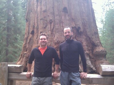
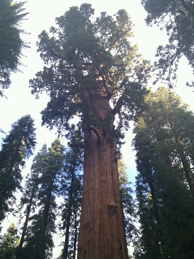
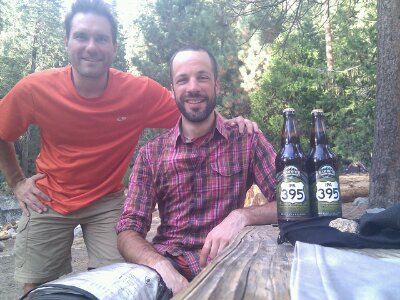
Then it was time for Dennis to turn around and say our goodbyes, as every hill he went down meant a hill he would have to climb on his already hilly ride back. It’s too bad we couldn’t have had more time riding together, but it was great to have him around for even a short while.
Then I had a decision to make. A friend (Laurianne) had mentioned on Facebook that I should take a hike to the top of Moro Rock. It had already been something on my radar of “potentials”, things I looked at during the planning stages of the trip in case I found myself with a surplus of time and energy after the bike riding. Well, compiling that list of “potentials” has seemed quite silly in hindsight, as there has been very little surplus of anything on this trip, and I have frequently given myself a rueful laugh when recalling my pre-ride naivete. Today was already scheduled to be another really long one, and adding 4 miles of riding and 300 feet of stair climbing would make it even longer. But, if someone calls a place one of their favorite places in the world, that’s a strong recommendation, and I was feeling really strong again, so what the heck.
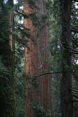
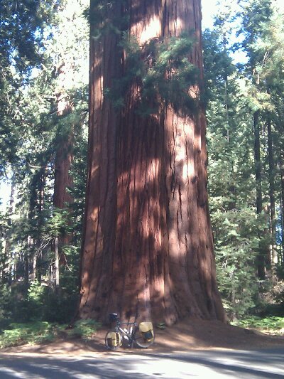
As soon as I made the turnoff, it felt like the right decision. The narrow road went through the highest Sequoia concentration I had seen so far, with their rust-orange trunks signaling them out amongst the lesser, drab-brown trees, just in case their immense size wasn’t sufficient to grab your attention and let you know they are the Kings of the Forest.
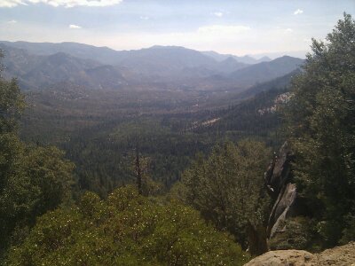
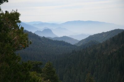
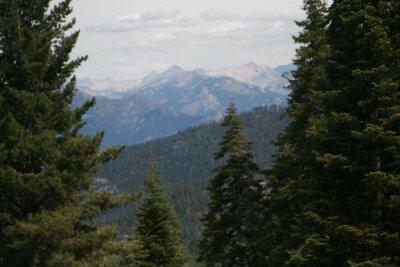
Moro Rock is a granite dome sticking off the side of the mountain, providing long-distance, 360 degree views, and a staircase has helpfully been laid in it to get you to the top. And those views were tremendous. To the east was the Great Western Divide, a sawtooth line of 12000 foot peaks truly representing the highest wall of the High Sierras. And to the west was the Kaweah Valley, nearly as deep as the Grand Canyon, though much broader, giving a great perspective on the changes in the land with elevation, including the winding road I was about to take down into that valley. So yeah, totally worth it, at least at that point in the day!
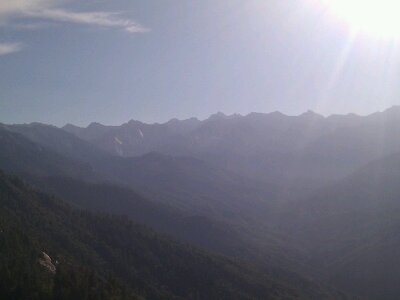
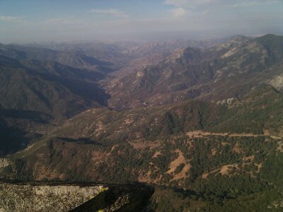
Then it was time to head down the giant hill. If the morning wasn’t already great enough, I saw a bear! (sorry Dennis!) Coming around a downhill turn, I glimpsed what I assumed would turn out to be just a bear-shaped log in the forest, but then when that log noticed me, he instantly leaped onto the trunk of a nearby tree! Then a couple seconds later after realizing it was just a puny human, he dropped back down and resumed rooting around on the forest floor, giving me plenty of time to stand and watch (and get some crappy photos) before he moved on. In all my travels and putting food in bear boxes, I’ve never actually seen a bear in the wild before, so it was great to check that off my list, and now interacting with one in real life will probably help reduce any imagined late-night bear-fears.
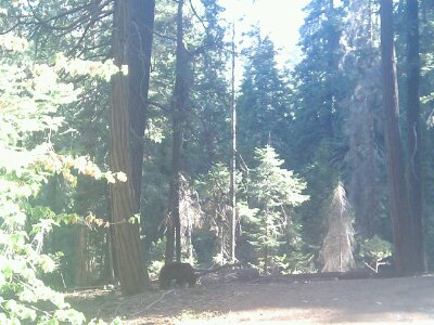
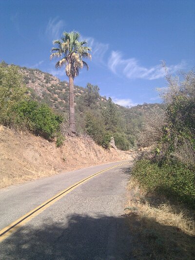
Then it was time to continue the rest of the 6000+ foot drop. Soon I came to the road construction area, where there was an automated traffic light letting one-way traffic through every 20 minutes. I had known about this for months, and actually saved some journal-writing to give me something to do during the break. After 10 minutes or so, we began the stretch of several miles of rough gravel/dirt/stone road. I was nearly able to keep up with the cars (and the 15mph speed limit) but I have no idea what a cyclist going uphill would do. Maybe similar to what some jackass who had jumped the light going up had done: pulled over close to the wall, prayed that no one would collide head-on, and then, as I went by, asked “are there any more cars?” Not when I started, but how should I know if any are coming behind me? Jackass.
The rest of the descent was a lot easier, but not a whole lot more fun. Way too many 10mph switchbacks meant that I was on my brakes much of the time. I keep trying to heed the signs that say “Use Lower Gear”, but for some reason that doesn’t seem to have any effect!
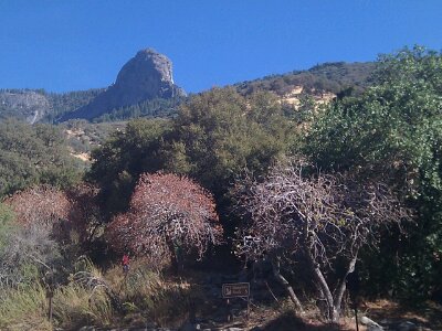
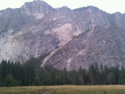
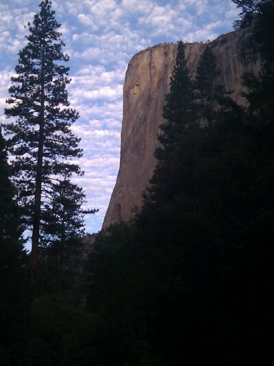
Moro Rock
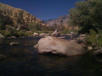
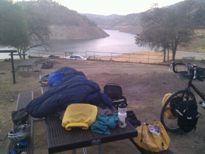
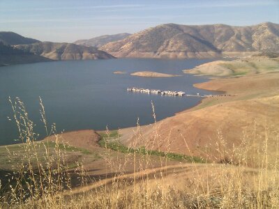
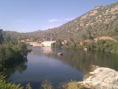
In the final stages, I went by Lake Kaweah, which, as a dammed Sierra river, is quite similar to Pine Flat Lake, but somehow much less foreboding. Maybe it was all the bright green vegetation in the broad valley.
Once past the dam, I was down again at 500 feet in the Central Valley, in the fruit orchards of Lemon Cove. Oranges and olives were also popular choices. I had some long flat sections, making for the first time in days when I could crank along at an easy 18mph, rather than alternating between grinding at 5mph and coasting at 30mph.
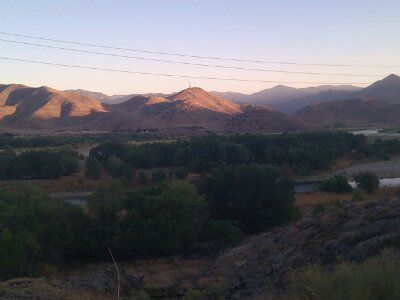
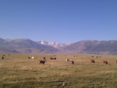
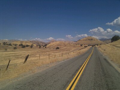
I was feeling so strong that I skipped any potential stops in Lemon Cove and headed off onto 27 miles of deserted backroad through the Yokohl Valley. It was mile after mile of sun-parched yellow rangeland, with cattle huddled in the small bit of shade provided by the rare trees. It was again hovering around and above 100 degrees the whole way through, but I seemed to be tolerating it much better than before. In the dryness, and moving faster than 5mph, sweat works very efficiently to cool the body, which surely helped. Like Lake Kaweah, despite the emptiness, the feel was less apocalyptic than the rangeland near Pine Flat Lake. There were nice gates and fences in this area, and no Nazis. Though at one point I saw what I’m pretty sure was gang graffiti on some boulders in the middle of nowhere, which made me wonder what really goes on out here. The worst part was that I underestimated the 2300 foot climb out of the valley by some 800 feet.
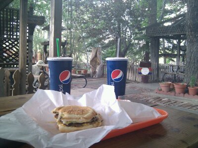
That meant that despite my efficiency, I had drained all my water bottles by the time I reached Springville, and when I stopped at the small diner there, asked them to just bring me a whole pitcher of water. In addition to my sub sandwich, they had soda floats with your selection of retro/bottled sodas, and oh man, was that good (I had a Sprecher Cherry Cola). Going back out to my bike sitting in the sun, its thermometer read 115, and when I poured another pitcher of ice water into my empty bottles, steam came pouring back out the top.
Then I was faced with a decision. Despite how good I felt, it was 3pm, and I had a 3900 foot climb left on my route, in this blazing heat. I briefly considered just taking a motel there in Springville, but that would have left me with a 6200 foot climb starting the next day, or completely giving up on my planned route. So I decided to just go for it.
The route goes up the Tule River, which is more an endless series of small waterfalls than a river, and made me wonder why the hell I calculated the hill as only 5%. Somehow my hill knowledge, which had been right on so far, was way off today. But as usual, I kept grinding, taking breaks, and slowly but surely neared my destination. As not usual, I was half keeping an eye out for pickup trucks and would have jumped at the chance if anyone offered me a lift up.
In the end, it wasn’t necessary, and I made it to Camp Nelson under my own power, only to find that the campground I was heading to was closed. Darn it. I knew there was a motel, so I decided to just go for that, but it was disappointing both because it would end my record camping streak at 21 nights, and because I had read that in the campground you can actually sleep amongst the Sequoias.
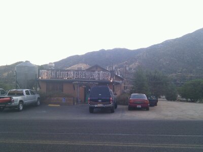
I pulled up to the restaurant/bar, where the locals on the porch encouraged me to come up for their tacos. Sounds good, but I first had to ask about the motel. They decided that at $149, it was too rich for my blood, and instead recommended the $15 RV Park right around the next turn. Ha, I hadn’t even thought of that! I rolled over, caught the friendly owner out turning on the sprinklers, he found a nice grassy spot for me, unlocked the bathroom, and turned the hot water back on.
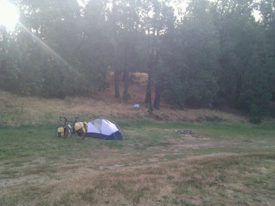
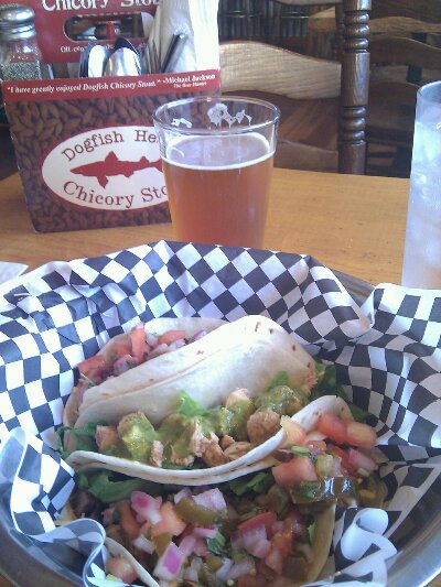
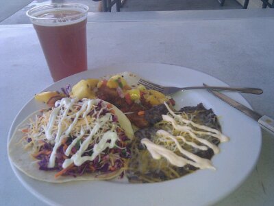
Sleeping amongst the Sequoias, or having a glorious hot shower after a 94 mile ride that I could stand under as long as I wanted? Tough call, but at that moment, the latter totally won. It was late, but I decided to head back to the restaurant to see if tacos were still on. Unfortunately they were closing up, but when I asked, the chef gave me one of the two plates he had wrapped up to take home, gratis. Awesome. The bartender had clocked out 10 minutes previous, but she was happy to pour me a beer and stay open, and we had a nice chat where she learned a bit about my tour, and I learned a bit about Camp Nelson. There was even a paper plate with some salmon on it, and they made me try some of that too. Once again, I got a lesson in how good people are.
I got back into camp, and once again knew immediately that the journal writing would have to wait until the next day!
