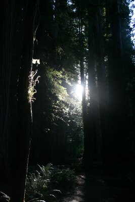
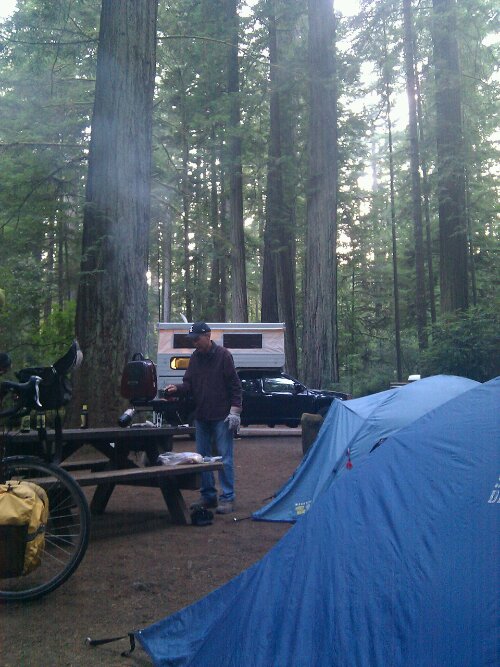
Day 14: Sierraville, CA to Lake Tahoe, CA

September 16th, 2012

60.1 mi / 5:11:15 time / 11.5 mph avg. / 3816 ft. climbing
Staying at Fallen Leaf Lake National Forest Campground

Today was the closest thing I’ve had to an Oregon day since we were actually riding in Oregon. Similar distance, similar total amount of climbing (ok, maybe a bit more), similar style of climbing (achieved it all with no single hill greater than 800 feet), I slept in and didn’t hit the road ’til late, got into camp at 4pm, and I even had a bowl of clam chowder! The main differences we that my base altitude was over a mile above sea level, and I had some really strong winds to fight. Oh, and Joel seemed to have gone missing.

The first 10 miles continued on that beautiful new asphalt. It was shoulder-less, but traffic was light and not a single logging truck was seen today. That might be just because it’s Saturday, but prior reports indicate the route should get better anyway. When crossing from Sierra County into Nevada County (yes, really!), the road suddenly turned to junk, but luckily that county didn’t last long. In the rich-looking town of Truckee, through which I-80 passes, and which is thoroughly obsessed with traffic circles, I bypassed the fancy-looking bakeries and natural foods stores and spas and instead stopped at the library. It was closed, but its WiFi was open, which is good enough for me. While sitting there, I first noticed the explosive winds. Really, it was like someone dropped a bomb every few minutes causing a burst of 25 mph wind to blast for 20 seconds and then stop.

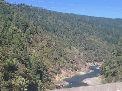
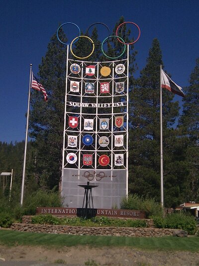
The explosions became more constant as I headed into them towards Lake Tahoe. The road headed up the Truckee River, perhaps only a 1% average grade, but my speed was probably less than 10mph over that stretch. At least I had an 8-foot-wide newly-paved (actually not-yet-finished) shoulder all to myself, so I didn’t have to devote any energy to traffic awareness. And it’s pretty good to ride for two weeks and only now really whine about wind for the first time.
image

It was in this section that I began seeing all the kitted-out road cyclists on their pricey bikes flying by in the other direction. Yeah, good for you, you can ride your bike fast going downhill with a 25 mph tailwind! For some reason none seemed to be going my way. Speaking of cultures and tribes, just like I might be 90% of the way to being a dirty brown transient hippie, I paradoxically might also be 90% of the way to being one of these road-bike warriors. And again, I cling to that last 10%, because I really don’t want to have to put on the matching spandex, inexplicably emblazoned with the name of some European bank, just to go on a bike ride.

As usual, most ignored the loaded-down traveler on the other side of the road (my shirt only mentions an American bank, which I guess doesn’t rate with them). But that made it all that much sweeter when one guy yelled out “Nice!”, followed half a second later with “Oh my god!” as his brain finished processing what he was seeing. Close to Tahoe I dropped down onto the bike path, which more closely hugs the river. Totally different tribe of bike people there, though probably the most noble of all of us since they aren’t even aware that there are different tribes of cyclists.

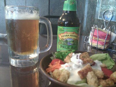
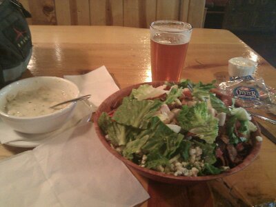
Entering Tahoe City, I reached the lakeshore along with the crush of weekenders. Lunch was at Bridgetender’s, where I ordered a beer, a bowl of clam chowder, and a chicken Cobb salad. The soup was a good size, but the salad was absolutely ridiculous. The waiter said “I’d like to see you finish all that!” Unfortunately I failed him, leaving maybe 15% of the salad. I felt like an embarrassment to bike tourists everywhere. 🙁
image

Though as an excuse, I’ll say my appetite decreased mid-lunch when I discovered that my day might be less-relaxing than expected because the campground I was headed to (and all others in the area) were fully booked. I guess I should have factored in how many people would come to Tahoe on a beautiful September Saturday! My plan was to ride on and get to my general destination as early as possible to maximize my options.

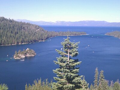
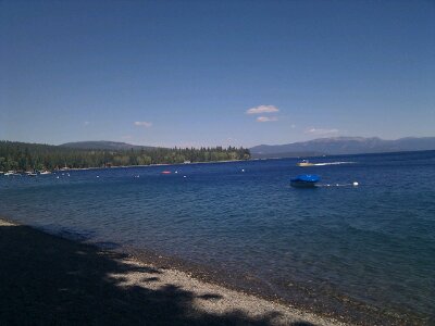
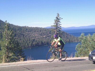
The lake is pretty amazing, colored with deep blues and greens that I’ve never seen in a lake before. Emerald Bay is the much-photographed highlight, and there were swarms of cars there overflowing the parking lots to prove it. Most of the 25-mile route down the west shore of the lake had no shoulder and was packed with traffic. There was a bike path in sections, but it wound about stupidly and had lots of bumps, so I mainly stuck to the white line like all the roadies were doing. The lanes were actually wide enough for two cyclists and two cars to pass in opposite directions, and speeds were generally under 35 mph, so it wasn’t too bad.
image
image

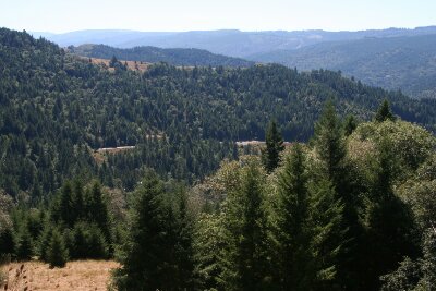
There was one absolutely insane section when the road began dropping down from the 600-foot height above Emerald Bay. The land already had been dropping steeply to the Bay on the left side, but suddenly the right side disappeared too, similarly dropping 600 feet to Falling Leaf Lake. And directly ahead was the main body of Lake Tahoe. The road was perched right on the narrow spine, with no more than 5 feet to spare on each side. It was very much like the Hogsback near Escalante, Utah, except here there was water below wherever I looked, almost as if I was dropped from a parachute over a single, giant lake.

image

Simulation of me on the ridge

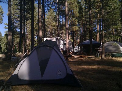
I decided to check out Falling Leaf Campground, just in case the Internet was wrong, but no, the sign said “Campground Full”. I decided to roll up to the booth anyway just in case the sign was wrong, but no, the woman in the booth confirmed it was correct. But, then she offered that I could stay in her site where she has her RV parked, she has plenty of room. Awesome! Well, at least I think so, I had actually started to think a motel wouldn’t be the worst thing in the world. But I was already here, I had a generous offer, and she wouldn’t even take any money for it, so that settled it. And yeah, she definitely has plenty of room, you could make just this one site into a hiker-biker site for 5, and that’s with her RV, two large tents, and birdbath already taking up a bunch of space. 150 sites of a similar size make this the hugest campground I’ve ever been in. I paid $1 for a shower, and holy crap, I didn’t get cheated at all on that. In the 3 minutes the firehose of a shower head must have blasted at least 50 gallons of water at me!
image

Day 13: Greenville, CA to Sierraville, CA

September 15th, 2012

73.6 mi / 6:18:50 time / 11.6 mph avg. / 4947 ft. climbing
Staying at Cottonwood Creek National Forest Campground

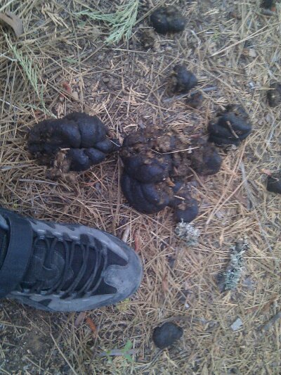
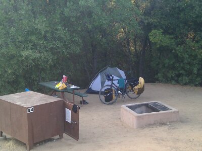
Last night as I explored the closed, empty campground, I came across this 50 yards from my site:
image

Uh oh. What made that? A horse? The world’s biggest dog? Or a bear? Suddenly the free campsite seemed like much less of a good deal. Checking the Internet for bear scat photos proved inconclusive, but I did reconfirm for myself that if it was a black bear, he was extremely unlikely to eat me, he would only want to eat my food. There were no bear boxes, so instead I packed up all my food and cooking gear and placed it on the roof of the vault toilets, as high as I could get it. I put my garbage bag on the roof of another toilet even further from my site. Okay, problem solved.

Until, as I lay down writing my journal entry, concerned about the tablet screen turning my tent into a glowing beacon, some cars would turn off the main highway, point their lights right at me, and slowly drive up the access road. Most seemed to drive on, but some turned around and went back out, and I even began to become concerned about the flash of headlights from the main highway as the cars drove by.

And then one drove in, stopped, and turned off the engine. Oh shit. Was I busted? No, at least not immediately. All I could see through the mesh of the tent was some light glinting through the trees, sometimes falling right on my white tent body. Should I have put the rain fly on to make it less visible? Too late now! Who were they? Why were they just sitting there near or in this closed campground? I thought I heard some voices, but very little and very briefly. Needless to say, no more journal entry would get written that night, as I nervously stayed dark and silent watching not just their light but the lights of any other cars on the road. Originally I figured that I wouldn’t be able to sleep because I’d be worried about a bear, but now I had a new reason for sleep to stay miles away, and I was cursing myself for stashing my stuff out there where these late-night mystery men would likely steal it for themselves. I was trapped.

I tried to tell myself all these thoughts were irrational, that no one comes to closed campgrounds to evict (or murder) bike tourists, no one steals camping gear and food, and even if that was their goal, they would never point their lights at the roof of the toilets, so would have no idea anything was even there. But of course in the black night, none of that rationality took hold. I even started to remember that I’d read the largest black bears can reach up 9 feet. How high can I reach? I’m 6’4″,add two feet for my arm length and standing on my toes… hopefully that bear isn’t one of the largest ones. But his scat was pretty large….

And on and on until I finally calmed down and fell asleep sometime before midnight. After that I actually slept pretty well, with the blaring train whistle being the thing that woke me a few times.

I woke normally at 6am, and in the gray light, timed the loud-zipper exit from my tent with the noise of a logging truck going by on the highway. I couldn’t even see anything from where the light had been coming from, there were so many trees, so even if they had known exactly where to look, there’s no way anyone would have seen me. And of course my bags were still right there, touched not even by chipmunks. As it got lighter and I packed up my gear, I could see what looked like some people camped over by the other toilet where I had stashed my garbage. I had some receipts and stuff in the bag with my name, so, I tried to look like I knew what I was doing and walked over to grab it. One of the guys was up, and after I grabbed it and started walking away, called out to me:

“Do you run this place?”

“No, do you?”

He gave me some story (which was probably true) about driving into town and asking the sheriff if it was okay to camp there. Looked like a totally normal couple of guys out on a camping/fishing trip. So just as it would have been with me and the bear, as scared as I was, he was actually more afraid of me. Which makes total sense in the light of day. But in the dark of night, it’s amazing how fear of the unknown can take over and make imaginations run wild. I don’t know if that’s an effect of modern human culture, conditioned by the fact that we rarely have to face the dark unknown? Or is it an ancient survival instinct, ingrained in us from our earliest days when the darkness was unstoppable and the unknown was everywhere?

Ok, then the day. It was 41 degrees, but a California 41 rather than an Oregon 41, so somehow I was still ok in shorts. A quick ride brought me to the cute well-kept Old West-style crossroads of Greenville, where I got a monster breakfast burrito at super-friendly Anna’s Cafe.

The 23 miles from Greenville to Quincy were… interesting. Since I entered Lassen I’ve been on Adventure Cycling’s Sierra-Cascades route. When I was dealing with all the logging trucks a few days ago on CA 299, I figured that’s just part of taking my own route, while Adventure Cycling generally goes out of their way (often too far, IMO) to avoid treacherous traffic. But no, this section of CA 89 was at least as bad as 299. There wasn’t a bit of shoulder the entire stretch, the road was very curvy and hilly with limited visibility ahead, and there were logging trucks aplenty. I probably got passed by only a dozen, but worse was that at least 50 empties went by going the other way, which meant they’d eventually be coming back upon me, this time fully loaded.

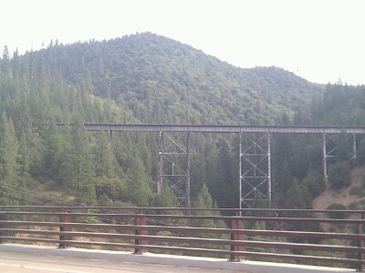
Despite that, it was pretty awesome. The road was doing its best to follow the tumultuous Feather River through the deeply carved valleys, but often failed miserably. The railroad the brought the trains last night made a similar attempt, but often on a quite-different path, utilizing trestles and tunnels to flatten the grades.
image

In Quincy I sat in front of the County Courthouse finishing up the previous night’s journal entry, then went over a couple blocks to the library to upload it using their WiFi.

Leaving Quincy, I was pleased to see fully loaded logging trucks heading towards me, which meant there must have been a million in Quincy they were all driving too, and I would only have the empties to deal with. And there weren’t even many of those for the rest of the day, and it didn’t matter, because I almost always had a shoulder.

I got a late lunch in the well-to-do resort town of Graeagle (haven’t seen one of those since Oregon). Then I spent 20 minutes outside attempting to de-stick my right shifter. It’s been getting notchy and unresponsive for a while now, to the point where I was intentionally avoiding shifting gears, which is stupid because it makes me less efficient. My flush-and-lube seemed to do the trick, and of course I was then kicking myself for not spending 20 minutes three days ago to do it.
image

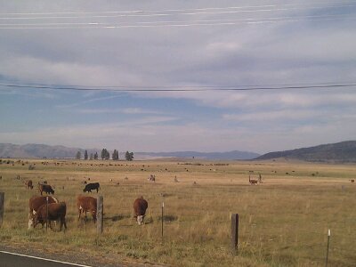
Near the end of the day I dropped into a broad, flat valley filled with ranches and straight roads, a nice change from all the forest riding I’ve been doing. Except that the winds, which had been strong and gusty all day, were the strongest there.
image

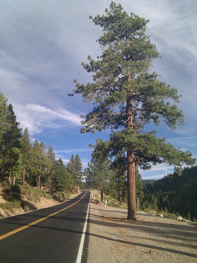
I made one last stop for groceries in Sierraville, leaving me with a 600 foot climb to the campground. What’s 600 feet at the end of a day? Nothing! I had an ice cream sandwich in my belly, a beer in my bag, a good chat with a nice couple in my brain, a ribbon of brand new black asphalt ahead of me, long shadows from the late-afternoon sun behind me, and a beautiful open forest both above and below me. I was completely enveloped in Goodness. I was almost sad that it was only 600 feet.
image

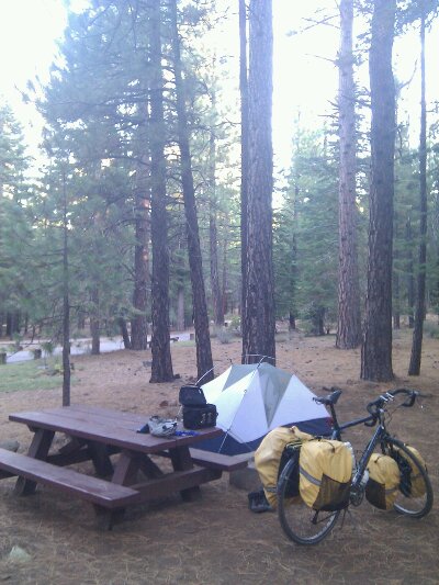
Tonight’s sleep should go a lot better. Though there are only about 3 other sites taken on this Friday night in this pristine campground, one of them a few sites away is a nice couple who have rode the Oregon coast route (and yesterday I talked with a guy who had done it several times). You better believe I still made the quarter mile walk to put my trash in the dumpster though!
image

Day 12: Lassen Volcanic National Park to Greenville, CA

September 14th, 2012

79.2 mi / 6:14:55 time / 12.6 mph avg. / 4318 ft. climbing
Staying at Greenville National Forest Campground

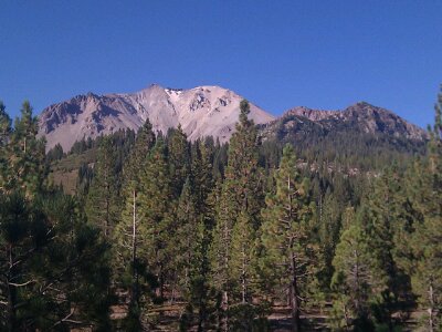
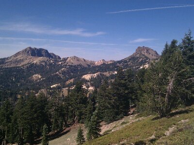
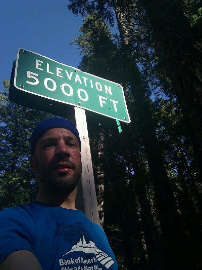
For the second day in a row, I faced a big morning climb, and the two experiences couldn’t have been more different. At 6000+ feet, the temperatures stayed a perfect 65-70 degrees, even in this he continued cloudless skies. The park road was nearly empty; I saw a car every 15 minutes or so, and it felt like the park was all mine. I took it easy, never pushing, going pure aerobic cardio the whole way. The elevation only seemed to be affecting my oxygen uptake when I wondered “is the elevation affecting my oxygen uptake?”, which probably means it wasn’t affecting it at all. California has roadside elevation markers for every 1000 feet, so I ticked by 7000, then 8000, and then the top, at 8512. Unfortunately there was no sign for the summit, but it obvious enough for me to still get a photo. 7.8 mph average over 22 miles and 3200 feet of climbing.
image
image

image

Lake Almanor wide shot

There are a lot more peaks in the park than just the 10500 foot Lassen Peak. They’re all remnants of a much larger, historical volcano, so that’s why everything is all crumbled and lumpy, unlike the symmetrical cone of a Mt. Hood or a Mt. Shasta. I kind of like the lack of perfection, because it gives a lot more variety and different views.
image
image
image

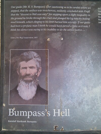
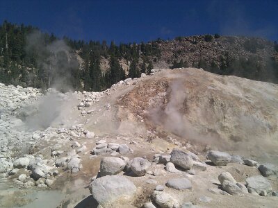
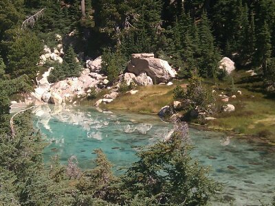
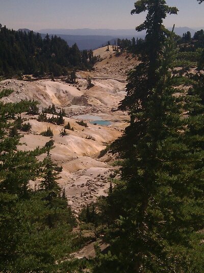
Just after the summit I stopped to hike the 3 mile round-trip trail to Bumpass Hell, because how could I skip a place with a name like that? And here I thought I had already been through Bumpass Hell yesterday, on that section of road that had a jarring crack every 10 yards, but apparently not (thanks folks, I’ll be here for the rest of the month!) In reality, Bumpass Hell is the proof that “Volcanic” truly belongs in the Park’s name. It’s an active the thermal basin with boiling pools and steaming fumaroles and sulfur air. It was discovered by some guy named Bumpass whose travails were recorded in the wonderful prose below. I figured it would be a pretty weak thermal area compared to Yellowstone, just a single steaming vent saying “I am a volcano! Really! Look, I’m steaming!” So I was surprised with how large and varied and fuming it was; except for the lack of actual geysers, I’d say it was on par with what I’d seen at Yellowstone. Hiking the 300 feet back up from the basin felt like more work than climbing the 8000 feet to get there!
image
image
image
image

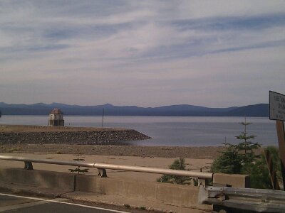
Then it was a long, fun descent to the Visitor Center cafe, where I got a National Park-priced ($18) lunch, though at least it included a beer (another Sierra Nevada, now fully appropriate!) The descent continued for another 10 miles or so, and then flattened as I neared Lake Almanor. Besides getting a nice reminder that I actually can move pretty well on flat ground, Lake Almanor was pretty much a pain in my ass. The main town, Chester, was 3 miles north of the crossroads where I turned south, so I didn’t go there, and then there was a series of lakeside areas which may have had a restaurant or something, but there was no clear info, they might have been closed for the season, and they were somewhat off the route too. I was planning to stay at a National Forest campground a mile or two north of Greenville, but that would be 50+ miles without a fuel stop. I had enough food to survive to the next morning, but if this was another waterless campground, there would be trouble. I decided if that was the case, I’d continue on to Greenville, let Lake Almanor declare victory over me, and get a motel there.

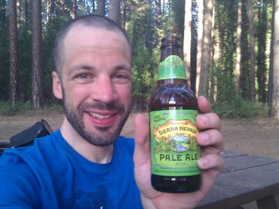
But at the final hamlet on the lake, Canyondam, a store! A beautiful dump of a store, with an old woman in an easy chair behind the counter, stacks of merchandise and other junk cluttering the aisles, dust covering half the food, and a random selection of worn, decades-old paperbacks for sale. I generally don’t care at all about expiration dates on food, but I was definitely checking here! The can of peaches, block of Tillamook cheese, and Sierra Nevada Pale Ale all looked good. The proprietor was even happy to let me fill my water bottles, provided I could navigate the even-more-treacherous path to the utility closet in the back room.

image

Lake Almanor closeup

So I was all set, and 7 miles later, made it to the campground. “CLOSED FOR SEASON”. Crap. Oh, wait, I forgot, closed campgrounds are great! No charge, no crowds, but also, no toilets. Not a problem here since my morning business could be taken care of in the nearby town. I rolled around the taped entry and found a site as far off the road as I could. Oh, and there’s water, and it’s still on!

image

Sierra Nevada in the Sierra Nevada!

Day 11: Photos

September 14th, 2012
image

Redding

image

Sacramento River

image

101 degree cyclometer

image

High Country ranch

image

5000!

image

Lassen

image

Done!

Day 11: Redding, CA to Lassen Volcanic National Park

September 13th, 2012

62.3 mi / 6:15:00 time / 10.0 mph avg. / 6000 ft. climbing
Staying at Manzanita Lake Campground

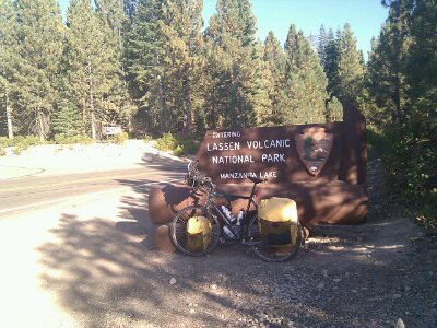
Well, that’s done. I’m now in the Sierras! Yeah!

I was out again at first light, heading eastward into the rising sun. Luckily it’s the last morning of that nonsense before I turn south. I don’t really recommend it for the faint of heart, particularly with logging trucks hunting you down (shh, don’t tell my mom!) The several miles along the lakeshore were surprisingly unflat, though I did hear, and then see, a beautiful pair of bald eagles. A pleasant change from the swarms of their uncouth cousins, the turkey vultures, that have been circling above me for days now, waiting for me to keel over. Not gonna happen!

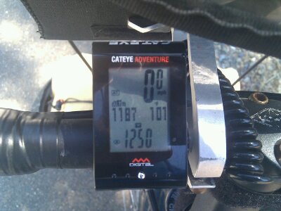
I made it the 10 miles into the big city of Redding (pop. 90,000), located one of the several bike shops, and then sat in the car-free “downtown” area to do some internetting (borrowing Shasta College’s WiFi) while waiting for it to open. Seems like a pretty pleasant town. I didn’t expect the shop to have the VDO cyclometer that I liked so much, but they did have a Cateye model with almost the exact same features. Even better, they don’t think they’ll be carrying Cateye stuff anymore, so I got a 30% on-the-spot discount. Thanks Chain Gang of Redding! One of the workers there said he saw me in Orick a few days ago, and once I was able to remember where Orick was (it’s a dump of a town at the south end of the Redwoods), I realized he was right.

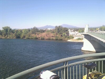
It was late, 10am, by the time I got the new cyclometer installed and calibrated, and the day was already warming up. Redding gets the 2nd most days of sunshine of any city in the US (230 or something) and today was no exception. This northernmost tip of the Central Valley would be getting up to 100 today. That’s basically 40 degrees warmer than the coast was. Hard to imagine in this dryness and heat how the Central Valley can produce so much produce, but the broad Sacramento River that splits the city has a lot to do with it. All these mountains I’ve been climbing collect a lot of water and send it down into the baking valley.

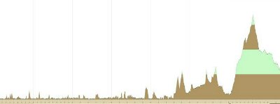
I got all the way down to about 400 feet in the Valley, and then it was time to climb. And climb. And climb some more. 40 miles of climbing, taking me up to nearly 6000 feet. Just to visualize the ridiculousness of this, here’s an elevation profile of the trip from the beginning through tomorrow. All those hills we were talking about on the coast (which was a serious amount of climbing) nearly become invisible once the Sierras enter the picture. Oh yeah, and I’m not even at the top of this mountain yet, I’m at the little jag 2/3rds up it. 3000 more feet tomorrow.

image

On a day like this, when it’s 100 degrees, you’re going 4mph up a 10% grade on a road with a shoulder that randomly disappears at the most inopportune times, and you know you have at least 4 more hours of climbing to do, a lot of schizophrenic thoughts go through your head. Like, “why the hell am I doing this anyway?” No one answered that one, but it was quickly followed by “another 10% hill? Sure, bring it on! Better to get it out of the way now than later!” Followed by “Whoa, there’s the crumbled bulk of Lassen Peak rising 30 miles away…I’m totally going to get up there, and it’s going to be awesome! ”

No time for real food today. Palo Cedro provided a gas station lunch at the valley’s low point, where I finally ended what was by far my longest Gatorade-less stretch ever on a bike tour. 2000 feet up at an unexpected-but-so-delicious gas station oasis, I followed that with two Gatorades, and three cups of ice cream. I actually had some doubts about making it at that point. But the ice cream helped and I kept on rolling to Shingletown, the halfway point in the 40 mile climb and the only real bit of civilization in the whole stretch. Ate a really hot banana that was in my bag, then used the IGA market/Ace Hardware’s wonderful bathroom to both guzzle cold water and lighten my load. After that, things got a whole lot better. There was still a lot of work to be done, but I was finally up high enough for the cooler temperatures at elevation to take effect, pine forest had replaced the tinder-dry yellow scrub of the Valley, and the grades, at least for a while, relaxed somewhat.

Everything got more beautiful the closer I got to the park, and that served as a good distraction during the last big 1000 foot push. After entering the park, I actually missed the turnoff to the campground, and my new cyclometer immediately showed its worth. The only reason I noticed was because my altitude kept going higher than what my maps showed for today. Oh well, turning around and going half a mile back took no effort at all.

After all that, I feel good, both in my body and in my brain. Only now do I realize I had been fighting a latent nervousness the last couple days, not really sure if I was biting off more than I could chew (you’ve seen that nightmarish elevation profile, right?!) But now, while there’s still a lot more work ahead, I have a new confidence that I can do it. And paired with the satisfaction of where I am and what I’ve already done, I feel pretty awesome right now. To that hot, worn-out, doubtful guy who asked the question 5000 feet and 9 hours ago, this is why the hell you do it.

Day 10: Burnt Ranch, CA to Redding, CA

September 12th, 2012

72 mi / time / mph avg. / 4500 ft. climbing (estimated)
Staying at Oak Bottom CG, Whiskeytown Lake NRA

My alarm woke me in the dark at 6am, after 9 hours of sleep. I finished the loaf of raisin bread followed by a banana and apple juice for breakfast in the tent, and was packed and on the road as soon as it was light enough.

Eight mostly-downhill miles later, with half a water bottle as my only remaining liquid after a waterless camp, another National Forest campground appeared. Darn it, this is where I should have stayed: I could have easily made it there, it looked like a nicer campground, and most importantly, it had water. But for some reason it wasn’t on my list. Further recommending itself, while filling my water bottles, I had a pleasant chat with Britt, who had just rolled out of her sleeping bag. She’s a rafting guide in the Sierras, and was here with friends where the only people they had to guide would be themselves. The Trinity River that I’d been following for the last 30 miles had seemed surprisingly fast-flowing and full of whitewater so late in the season, and now I learned why: they were opening the dams upstream for the fish runs. That’s exactly why this rafting crew was here, to catch this last whitewater wave of the summer. She also mentioned the fruit coming into season on my route tomorrow, which sounded like useful advice!
image

Today was another day of two big climbs, but also with a lot of relatively flat riding along rivers. The first climb, to Oregon Pass (yay!), some 1700 feet, was a dreaded “exponential climb”; it got continually steeper the farther along you went, cruelly reaching its steepest point at the very top. For the final stretch I was in my lowest gear and pushing hard, which means it was around 9% or more. This time I followed a logging truck down, which not only gave me full use of the road, I also had to get on the brakes pretty hard to stay back from him, and must have hit at least 40 mph.

image

I'm going up there

image

I came from down there

After the descent was the town of Weaverville, a much prettier strip than yesterday’s Willow Creek and less-filled with vagrants. I spent a long lunch at the wonderful Mamma Llama, a cafe/coffee shop/performance space/music store. Had to settle for bottled beer, but beer was had nonetheless (Sierra Nevada Torpedo, even though I’m not quite there yet), along with my spicy bagel sandwich. When I made a stop for groceries at the end of town, that’s where I found all the vagrants lying about. At least something seems to keep them out of the nicer part of town here! A not-totally-unkempt hitchhiker recognized me from the day before, after I jokingly told him to hop aboard when I grinded past him and his dog on the side of the road at 5mph on the way out of Willow Creek. Maybe he should have taken me up on the offer, since I beat him out of Weaverville!

Roaring monstrous logging trucks had been barelling by me the last two days on a road with an intermittent shoulder, though only one felt it necessary to lay on his horn when going around me. CA 299 is well-marked with bicycle “Share the Road” signs, and is far from the worst road I’ve been on, but I might not recommend it to first-timers. In Weaverville I finally saw where all those logs were going: onto an incomprehensibly enormous pile of logs at a lumber plant where giant sprinklers were wetting down one end (to keep it from spontaneously combusting in the blazing sun?) That was good news because from now on the empty trucks would be going my way, and they’re a lot more maneuverable.

I had another scary moment earlier in the day, when all of a sudden I heard a clattering on the hillside above me as I rode along at 18 mph. Surprisingly I was able to see the two grapefruit-sized rocks tumbling towards me, but in the second I had to guess, it was impossible to tell whether to speed up or slow down. One bounced past in front, while I heard the other ricochet off my rear wheel. Luckily no damage was done to the bike or me!
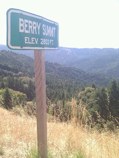
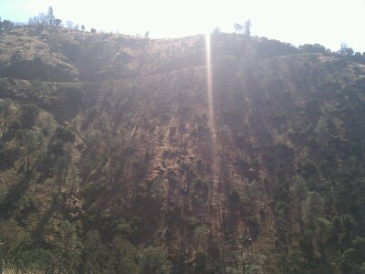
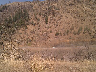
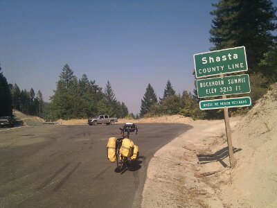
The second climb of 1800 feet, taking me to a new high of 3213 and the top of this mountain range, came in steps of varying grades, so was much easier. A woman in a pickup working for some fire agency, stopped at the top and offered me some Gatorade (have I mentioned the predicted high today was 100 degrees?) On the way up a few dozen pieces of fire equipment went past me, labeled from parts all over the state, presumably going to help out at a fire a bit north of my route. There was smoke near Weaverville, but I learned for the moment my route ahead should be clear.
image

The following descent was the best so far, filled with a myriad of beautifully arced curves, perfectly banked to lay into, and with great visibility. Unfortunately I had to stop for construction halfway down, and get carried in the pilot truck for the 2 mile stretch. I’ve been through half a dozen one-way construction zones so far and had been allowed to ride through all of them, so it was ironic that I was stopped at the one where I could have easily kept up with the line of cars.
image

A few more miles and I made it to Whiskeytown Lake, a dammed river, at about 4:30, over 9 hours after I started. My string of $8-or-less campsites is finally over, as this one is $20. It’s nearly desert here, so after a week of fearing the forbidding cold waters of the Pacific, I completely flipped and made a beeline for the lake and a swim. Oh god that was awesome. The free (cold) showers, soap dispensers, hot dry air, and many tree/bush branches made it an ideal spot for hobo laundry, so I took care of some of that too. Finally got to cook my macaroni, ate another half loaf of raisin bread, and am now munching on a Mamma Lamma blueberry scone as a bedtime snack.
image

Food list:
Half a loaf of raisin bread (670 calories)
Banana
Apple juice
Chocolate milk
Blueberry muffin
Last oatmeal cookie from Mom
3 large handfuls of peanut M&Ms
Spicy bagel sandwich
Tortilla chips
Beer
Banana
Raspberry Danish
650 calories of pasta
Another half loaf of raisin bread
Blueberry scone

Day 9: McKinleyville, CA to Burnt Ranch, CA

September 11th, 2012

58 mi / time / mph avg. / 6000 ft. climbing (estimated) 9p
Staying at Burnt Ranch National Forest Campground

Last night I bequeathed my cyclometer to the sea. That’s the fancy electronic gizmo that shows me not only my speed and distance, but also altitude, current grade, and even temperature. When I arrived in camp, I removed it from its handlebar mount and put it in the outside pocket of my handlebar bag as I often do. That was the last time I saw it. It must have fallen out when I walked to the beach with my bag strapped around my shoulder. I retraced my steps, but given that there was at least a quarter mile of sand between the campground and the water’s edge, my chances of spotting it were one in a million. I prefer to believe that it leaped out when I crouched down to put my hand in an incoming wave: “I know where you’re headed from here, and there’s no way I’m gonna measure all that elevation for you! I’m going to end my days right here at 0 ft. while I have the chance.” It sucks because I really liked that cyclometer. Rather than waiting for a bike shop to open in nearby Arcata (and putting 8 more miles in my day), I figured I could survive without it for a couple of days and then hopefully find a similar one in the metropolis of Redding.

Anyway, I didn’t need my cyclometer to tell me I’d be doing a lot of climbing today. The main event would be two back-to-back hills of nearly 2000 feet apiece, topping me out over 2800 feet above the level of the sea I was just leaving. After the entirely clear day yesterday, today was back to normal, breaking cloudy and cool. I did a McDonald’s breakfast (because I knew they’d have WiFi), and then was on my way into the mountains on CA 299. I didn’t have to go many miles east before I reached the edge of the clouds bank and entered full sun.

Halfway up hill #1, a guy pulled over and asked if I knew about Chizim Road, the original route traversing the gorge between the two mountains, that supposedly is shorter and doesn’t drop you as low. I’m usually skeptical of advice from motorists, but this guy seemed to know what he was talking about, so what the heck. It turned out to be a narrow, tree-covered road devoid of traffic, diving sharply down and then back up at grades steeper than the main highway. I was on the thing for an hour (including a long snack break), and saw not a single car in either direction. What I did see was a bit of Kentucky in California. One of the handful of remote, isolated properties deep in the hollow announced itself with a line of 80s-vintage pickup trucks in various states of disrepair, simply left on the road’s edge. A fenced, muddy cliffside must have been the goat pen (before they ate the goat), and there was a peacock wandering around. Of course there were also loose dogs, but luckily none took off after me. I don’t know if it saved me anything over the main route, but it sure was different.

After finally crawling to the top of hill #2, I had a glorious descent. Apparently a logging truck was behind me actually obeying the reduced speed limit, so he blocked any other traffic from catching me and left it all mine for the 3 miles of 7%. Only a couple of times in my life have I had the honor of an electronic speed monitor informing me that I’m exceeding the speed limit on my bicycle, and until now, it had certainly not happened with a 35mph limit. Yeah! Breakin’ the law! (speaking of, in California the signs inform me the ticket for speeding is $142. For littering? $1000)

image

Find the Car

image

Willow Creek is the town at the bottom of the second hill, ending the run of 34 miles and 4000 feet of climbing with no services (this time there was a sign alerting you, about the distance, at least). You might think the town would be filled with non-denominational Christian suburbanites, but no, instead it’s filled with dirty brown hippy backpackers/vagrants/hitchhikers lounging about with their guitars and their matted hair and their drugs. Culture is a funny thing. Measured objectively, when I’m touring I’m probably 90% of the way there to these guys, but somehow that last 10% is critically important to me, and I intend to cling to it with all my might to keep from being identified as one of them. To help cling, I got myself an Eel River IPA with my burger lunch.

I’m now in the Trinity River Valley, which, if the climbs and descents didn’t clue you in, is incredibly rugged country. A roadside sign told me that in the 1800s it took some white guy 100 days to make it from this valley to the coast. Native Americans were far more badass and could do it in 8, and now with the road and the automobile, it can be done in 2 hours. It took me about 6, which still ain’t bad. Thanks, CA 299. There are layers of mountains in every direction, sliced by deep river valleys, and though the overall elevations aren’t too high (leaving all but the steepest peaks covered in forest), the visible relief is huge. The theme of the California section of this trip was going to be Big Trees and Big Mountains, and I’ve already covered that in the first few days.
image
image

The National Forest Campground is nearly empty, and almost seems closed, with no host, old registration tags on posts from 10 days ago, and worst of all, all the water shut off. Guess that’s why it’s $6. Today I started filling my 3rd water bottle for the first time, so I’ll survive, but it meant dinner was half a loaf of raisin bread with cheese rather than macaroni with cheese. On the plus side, I actually found time to lube up my creaking bike and put on the new brake pads I bought back in Brookings. Need to get an early start tomorrow because it won’t be a whole lot (if any) easier!

image

Day 8: Crescent City, CA to McKinleyville, CA

September 10th, 2012

74.9 mi / time / 13.1 mph avg. / 4550 ft. climbing
Staying at Clam Beach County Park

On the first bike tour I ever did, leaving from my house, Joel rode with me from my parents’, through Chicago, and to the southern portion of the lakefront path before he turned around and went back home, and I continued alone to Atlanta. Just that was an emotional moment. So leaving alone this morning after a whole week riding together? Oof. I was teary-eyed for the first two miles out of camp. It was a second goodbye to my parents too. What finally snapped me out of it was realizing how awesome the bike and I must look rolling down the winding road between the enormous redwoods, lit by the dappled morning sun.

I have a lot of adjusting to do. I’m used to being on my own, but never have I transitioned from such a social bike touring experience (with Joel, Mom and Dad, and the Coast Caravan riding the popular Pacific Coast Route) to such a solitary one. And at the same time, the riding will get a whole lot harder, with climbs that make Oregon’s coast look like a pancake in comparison. But I think the engine was well primed this week, so I feel like I’m ready for it (and today’s result strongly supports that).

The sky was clear when we went to bed, and shockingly, it was still clear in the morning, for the first sunny morning of the trip so far. It was also the coldest at 48 degrees. I was again spoiled by camper-delivered breakfast, and the even scored a whole bunch of extra food from Mom to take with me. The ride down CA 199 back west to Crescent City might have been even more awesome than CA 197 yesterday. There are a LOT of big redwoods in this area. I kept waiting for the fog to hide the sun as I neared the coast, but even more shockingly, it never did.

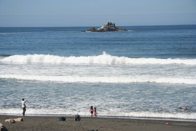
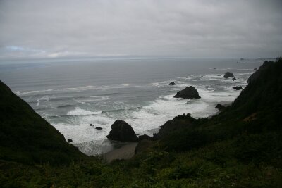
The whole day would remain sunny, and utterly spectacular. Oregon was excellent, but at least on this day, California beat her. I spent half the time awed by the beauty and half sad that Joel didn’t continue on for one more day. The day alternated between redwood avenues and coastal vistas similar to Oregon, but somehow the waters here didn’t seem quite as forbidding. I feel privileged to have ridden through some 40 miles of redwood groves; when counting up the National Parks I would see on this trip, I almost didn’t include the Redwoods, I guess because it’s a state/federal partnership, and it’s so spread out. But it totally exceed my expectations, in no small part because the main features (the trees) can be seen and experienced just by riding through it, and moving at bicycle speed is a perfect way to do it. Late in the day while on another nice quiet oceanside 101 alternate, I passed an area where I could hear the sea lions barking away, but unfortunately could not find which rocks they were on 300 feet below.

image

image

image

Find the bike!
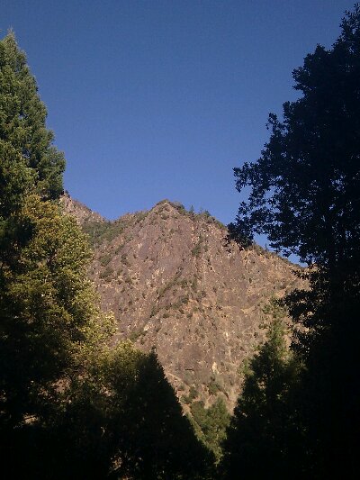
In a change from the previous week, lunch was cobbled together on the roadside from stuff I’d packed (sweet rolls, cookies, hard boiled egg, cornbread, and cheese). For dinner, when I eat in camp, a can of chili and a can of soup is something I normally enjoy, but since today I had cornbread from Chika, cheddar cheese from mom, and oyster crackers from some restaurant, it was perfect, I had to do it!
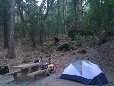
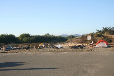
I picked that stuff up (along with a beer, I’m not roughing it that much!) in Trinidad and then was lucky to grab the last campsite available in the fairly brutal “campground”. It’s $8 for bikers, but no one else from the Coast Caravan is here; instead, on one side is a fat old pink-haired woman who beats her dog, with an unseen man in the tent, and on the other, some young hippy/druggie/punks who sound like a tuberculosis clinic. So not so pleasant, but the beach is just over the small dune, and I got a chance to watch the second ocean sunset of the trip. Bye-bye Pacific, it was nice getting to know you. Tomorrow, for the last time, I’m going to evacuate your Tsunami Hazard Zone good and hard!

image

image

image

Mom and a Redwood

September 9th, 2012

Sorry, was having trouble with this one in the main post. image

Day 7: Gold Beach, OR to Crescent City, CA

September 9th, 2012

57.4 mi / 4:11:27 time / 13.6 mph avg. / 2838 ft. climbing
Staying at Jedediah Smith State Park

Woke up to a wet tent again, though this time it must have been actual rain or drizzle, since there were no overhanging trees to blame it on. Ch3ecked in with Mom and Dad at 7am, and then we all went for breakfast at the cafe connected to the RV Park. Everything you need in one place! Never tried the sauna though.

image

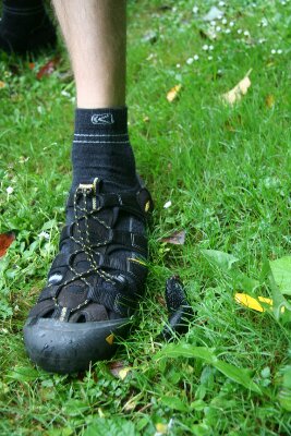
Giant Slug

Since we had a sag wagon available with Mom and Dad, we dumped most of our bags on them and headed out in “lightweight” mode for the day. That was good because we had the 2nd biggest hill of the Oregon coast to climb right off the bat, in pretty nasty 51 degree cloudy, misty weather. Even the hostess at breakfast complained how abnormal it was for this time of year; they’d normally be expecting sun now. Oh well, we did pretty well the first few days. I still probably had 20 more pounds than Joel to haul up the hill, but luckily he wasn’t able to drop me as easily this time. Or maybe he just wasn’t trying as hard!

This was easily the most remote day in Oregon, with the 27 mile stretch between Gold Beach and Brookings completely devoid of services and few signs of civilization at all. I’m actually surprised they don’t highlight that fact on the Coast Route Map, because it’s pretty unusual. No problem for us though, since we had Mom’s sweet rolls and oatmeal cookies to tide us over. The lack of services is counterbalanced by an abundance of viewpoints, most from vantages high above the ocean, including a flat bridge 385 feet above a ravine (the highest in Oregon, in case you were wondering). Happy we didn’t have to descend and climb that hill!

image

image

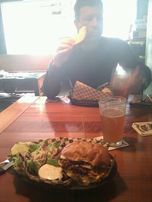
In Brookings we ate lunch at Vista Pub, a place cool enough to live up to their “gastropub” appellation. They only had 4 or 5 sandwiches on the menu, and my pulled pork was awesome. A final clam chowder, and of course a good Oregon beer rounded out a week of great lunches. On the way out of town I stopped at the bike shop to pick up some Kool Stop brake pads to replace my crappy Shimanos, while Joel tried to figure out a way to hold a cup of hot coffee in his water bottle cage.
image

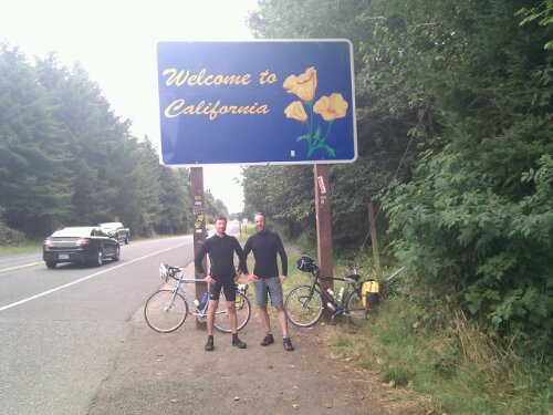
Just before we reached the California border, the familiar black Chevy flew by with Mom’s arm waving out the window. It’s funny how the one and only border crossing I’ll do in this trip happened 7 days in, after our East Coast trip where Dennis and I crossed a state border or two every day. I guess it saves time with fewer photo setups required!
image

South of Brookings and in California, we were mostly on alternate roads generally paralleling 101, and that was made possible by a rare flat area that appeared between the mountains and the sea, filled with farms and easter lilies and cattle (California apparently upends Wisconsin’s “Dairy State” claim by fighting the battle right from their borders on in). We even hit a section that could have been a Midwestern farm town, if not for the mountain backdrop.

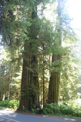
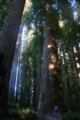
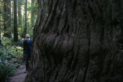
And it turns out the foothills of those mountains are covered in towering redwood trees, another thing you don’t see much in the Midwest, or anywhere else in the whole world. We did our final 7 miles on a road where their great boles rose right from the road’s edge (thanks for not cutting them down just to build a dumb road, CA DOT!), and where they made a line of telephone poles look like matchsticks.

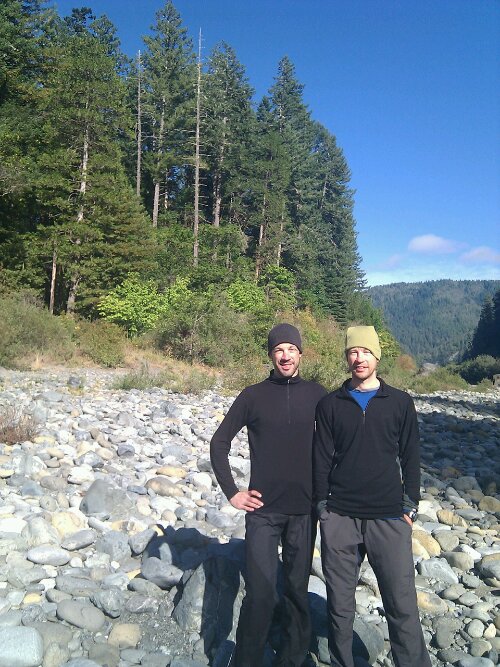
Then we made a turn into the state park, rolled to the campsite Mom and Dad had already gotten to share with us, and that was the first end: Joel had successfully completed his 385 mile portion of the journey. Going in, I knew that my brother and I would get along well on the road together, but it turned out even better than that, it was pretty much the easiest thing in the world (if you ignore the bike riding part of it at least!) We were totally in-sync on both the riding and everything else (several times we even ordered the exact same thing for lunch or dinner). He can totally do this bike touring thing, and probably even stick with me through the giant mountains coming up in California; all he’d have to do is get up earlier and settle for less-luxurious lunches. 🙂 In the way that we referred to the two Canadian bike tourers as “The Canadians”, we were known to at least one member of the Coast Caravan as “The Brothers”. I must say I liked the sound of that.
image

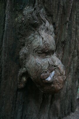
Just after we arrived, the clouds did their magic 4pm disappearing act they had done a couple days earlier, which was perfect timing for the hike the whole family did down across the Smith River on a footbridge and then through a grove of some of the most majestic trees I can imagine. Joel had been here with his family a year ago, and I can completely understand why he wanted to return and made it the endpoint of his journey. The short trail displays a large variety of Coast Redwoods in all stages off their life cycle, from the rail-thin, ramrod-straight 30-foot saplings to the fallen behemoths, and the atmosphere was powerful. The only thing I missed was seeing Han Solo and the Ewoks. Oh, ok, that might have killed the peaceful vibe, so it’s probably okay that they were fighting Stormtroopers somewhere else today.

image

image

image

Mom and Dad whipped up a multi-course dinner of hamburgers, potatoes, and peas, and then around the campfire Joel and I taught them about s’mores with our leftover ingredients, and they broke out the Cherry Garcia they had picked up. Yum. For the record, except for lunch on the first day, Joel and I managed to have beer at every non-breakfast meal. And of course good stuff too. Woo hoo!
image

image